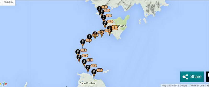
Crossing Banks Strait North to South.
At home I pondered over why I had missed landing on Cape
Portland again. Elli and I paddled across there in the dark and paddled
straight into Little Musselroe Bay in 2002.
“We headed magnetic south by our compasses and
were taken just right by the tide to end up at Little Musselroe where we could
see the inlet through the beach. Laurie had mentioned that as soon as we lost
sight of the lighthouse on Swan Island we would be entering an ‘obscured
sector’ and must be at Little Musselroe bay. Tide was at its prime pouring out
and while Laurie went in fine I had trouble pulling against it and got out to
pull my boat around into the bay, (my second dowsing) got back in and paddled a
dozen strokes across to the boat ramp. It was 10:40pm.”
And years before that I paddled from Preservation to Little
Musselroe Bay with no trouble on a trip with Jeff and Grant and Mick – I’d gone
back to Preservation to turn the gas off at the cylinder that Mick had left on.
I paddled straight into Little Musselroe Bay that time as well. So why the
failure with The Girl (2014), and again this time?
I think this time one of the reasons was that I came across
with a westerly wind (leaving 1 hour before HW at Swan Island) and in the 3
hours that wind took me further east than if there had been no wind. Without
that I would have been further west and I would have made it easily I think
– I was so close.
The other reason that I have never taken into account before
was the height of the low and high tides. I have normally told people to paddle
across here by leaving Rebecca Bay on Clarke Island 2 hours before High Water
and then you will go 2 hours west and then 2 hours back to the east and end up
where you want to be. It wouldn’t matter if the current was 20 knots or 2 knots
– you would get 2 hours in each direction.
But starting from Preservation I am counting on being just
to the west of
This time the tide when I got to Little Musselroe was as low
as I’ve ever experienced it, and the same with the tide there when The Girl and
I did it in 2014 (Liz had never seen it so low).
“(the tide was very low so we had to drag our kayaks
into the bay)”
But on the trip with Elli it was much higher,
“Tide was at its prime pouring out and while
Laurie went in fine I had trouble pulling against it and got out to pull my
boat around into the bay, (my second dowsing) got back in and paddled a dozen
strokes across to the boat ramp. It was 10:40pm.”
The other trip when I’d gone to
These are the heights of the tides on those days when I have
paddled from Preservation Island. Being swept to Swan Island (in red) and when I
did make it to Little Musselroe without any problem (in green).
2014 with The Girl, 3rd
March.
HW = 3.40
LW = 0.41
A difference of 3 metres.
This year, 2016, Saturday 16th
January.
HW = 3.42
LW = 0.46
Again a difference of 3 metres.
2002 with Elli, Saturday 23rd
February.
HW = 3.10
LW = 1.04
A difference of 2 metres.
1995 (Mick), Saturday 11th February.
HW = 3.0
LW = 0.5
A difference of 2.5 metres.